SEARCH



Integrating water management, ecosystem restoration, scientific research, and traditional knowledge at a UNESCO demonstration site
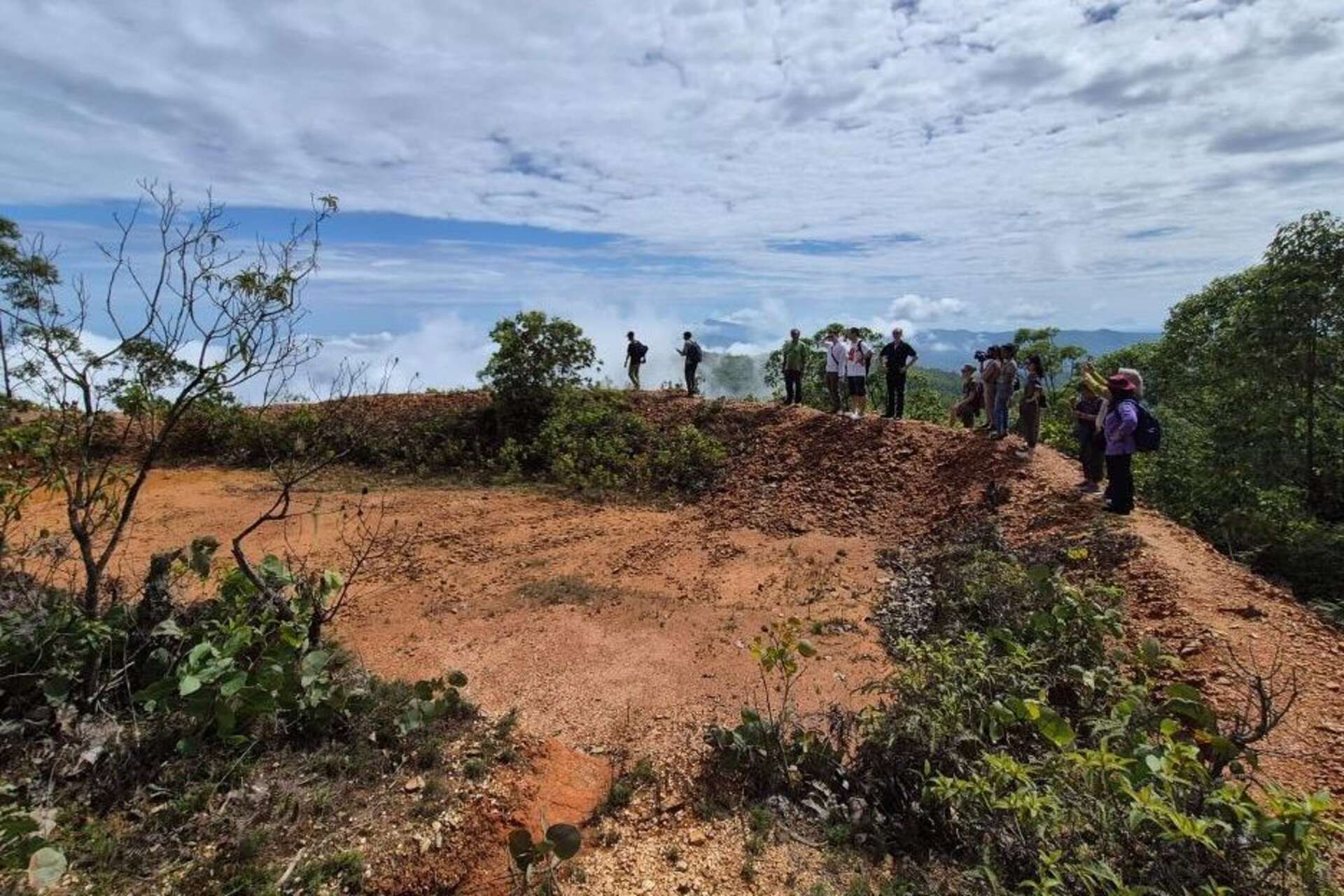
Water safety of Timor Est It could become the site of an experiment that combines science, land management, and community participation. The country is in fact evaluating the creation of its first UNESCO ecohydrology demonstration site, designed to apply in the field solutions capable of improving water availability, reducing the degradation of river basins and increasing the capacity to adapt to climate change.
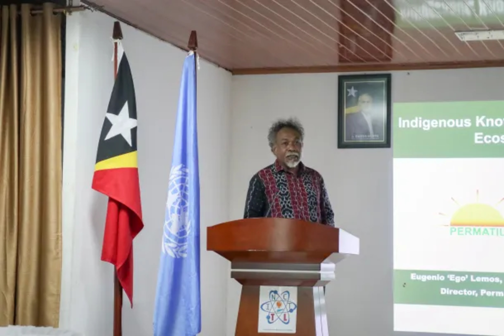
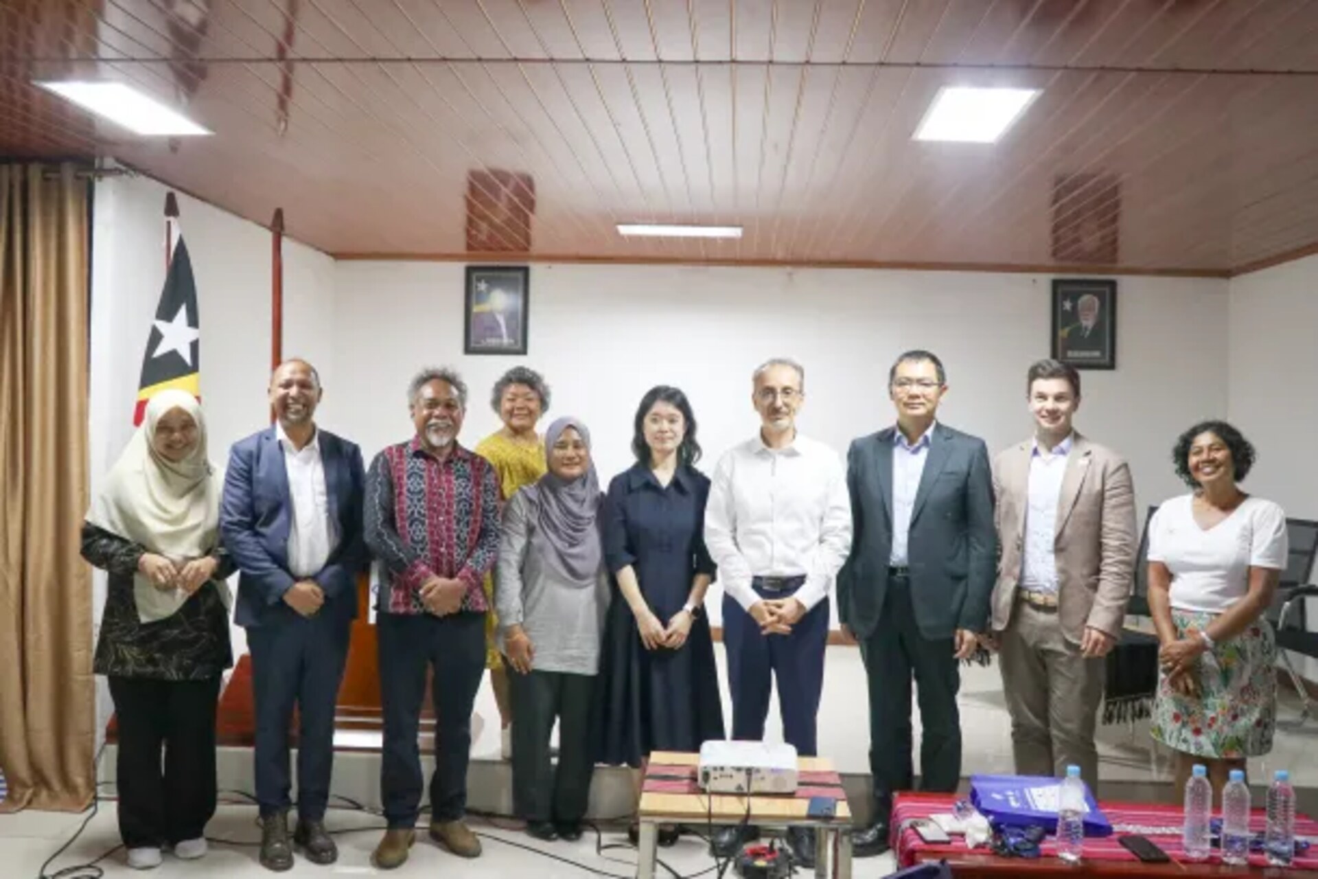
The path was discussed during a two-day workshop dedicated toecohydrology and nature-based solutions for water management, held in Dili on November 25 and 26, 2025The meeting, organized by PERMATIL, Permaculture Timor-LesteIn partnership with UNESCO, brought together representatives of public institutions, universities, non-governmental organizations, local communities, territorial leaders and young people.
The project is not only about the possible international recognition of a natural area. A demonstration site of this type functions as a experimental infrastructure on a territorial scale: a place to observe the relationships between water, soil, vegetation, and human activities, verify the effectiveness of specific interventions, and transform the results into tools usable by administrations, researchers, and communities.
For a small island state exposed to drought, floods and erosion, the possibility of building a permanent observation and testing environment takes on operational significance. According to UNESCO, these phenomena, exacerbated by climate factors, simultaneously threaten the availability of water resources, the health of natural environments, and the population's livelihoods. The goal is therefore to move from isolated interventions to integrated basin management, in which ecological regeneration becomes an integral part of water policy.
Water and biodiversity treated as a single system
Ecohydrology studies the interactions between hydrological processes and those biological At different scales, from soil and vegetation to the entire river basin. The underlying principle is that water quantity and quality do not depend solely on pipelines, dams, wells, or treatment plants. They also depend on the structure of ecosystems, the soil's capacity to absorb rainfall, vegetation cover, erosion, and how upstream areas are used.
From this perspective, a forest, a wetland, a system of small reservoirs or a correctly managed agricultural land can become components of a real natural water infrastructureNature-based solutions seek to exploit or restore these functions, without excluding conventional works. Rather, the approach combines engineering, ecology, local knowledge, and social resource management.
The demonstration sites promoted by the UNESCO Intergovernmental Hydrological Programme are intended to experiment and make these practices replicable. In 2024 the international network counted 51 sites in 32 countries, following the admission of fourteen new areas. UNESCO has been implementing nature-based ecohydrological solutions since 1996, while the first ten demonstration sites were established in 2006.
These places don't follow a single model. They may address urban water quality, groundwater protection, river restoration, wetland management, drought prevention, agricultural pollution reduction, or biodiversity conservation. The common element is their character. interdisciplinary and verifiable: interventions must produce knowledge, data and methodologies that can also be used outside the experimental area.
In the case of East Timor, the focus lies primarily on the possibility of connecting three often-separated levels: existing community practices, the production of scientific evidence, and its translation into public policy. The Dili workshop also addressed the inclusion of ecohydrology in educational curricula, research programs, and national decision-making processes.
In Remexio, small basins help regenerate the springs
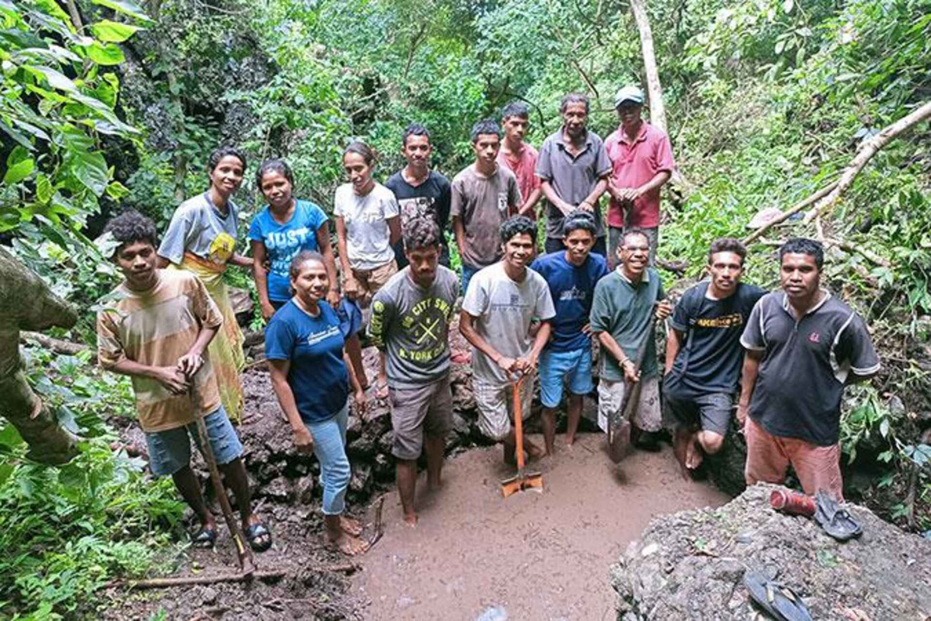
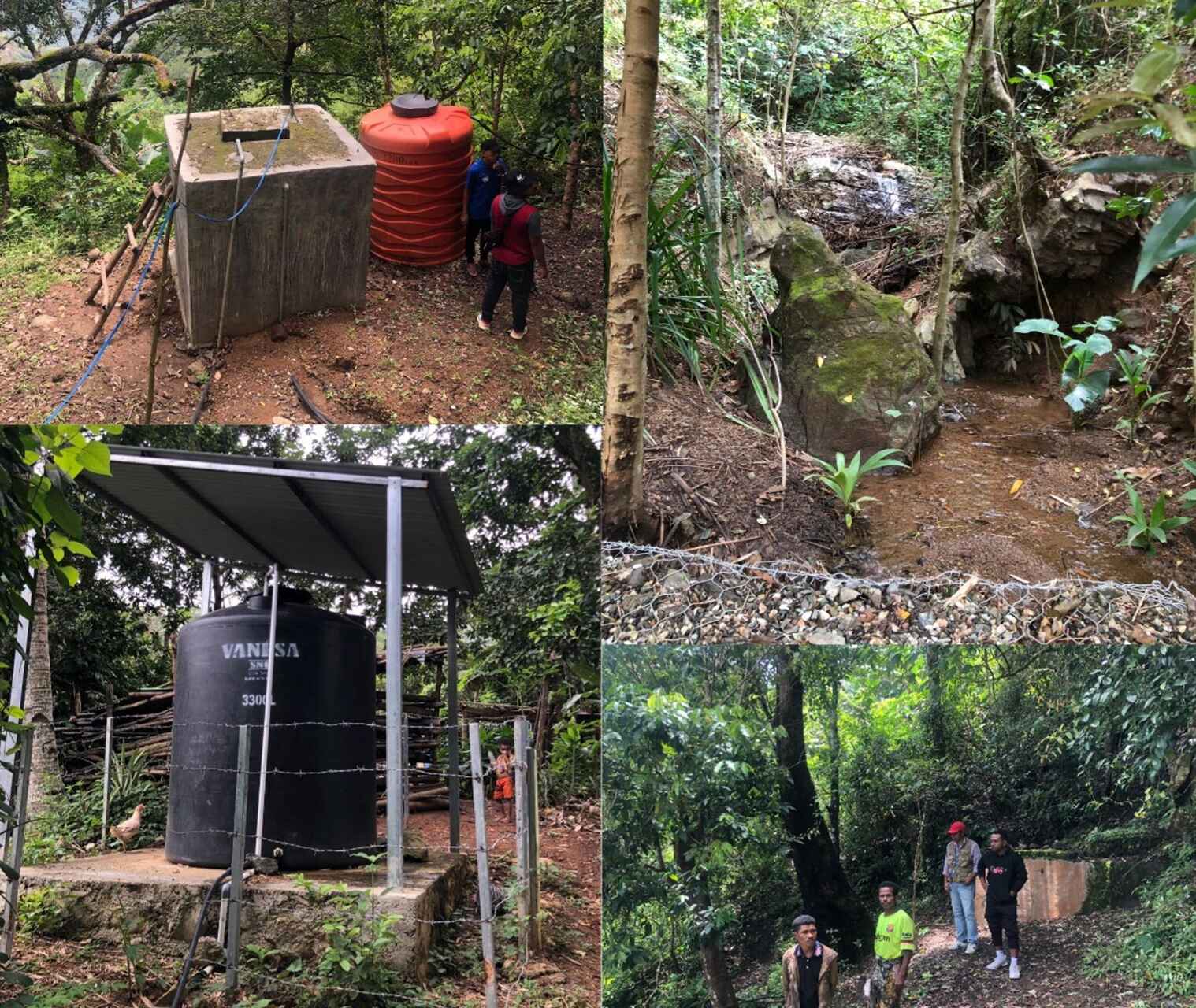
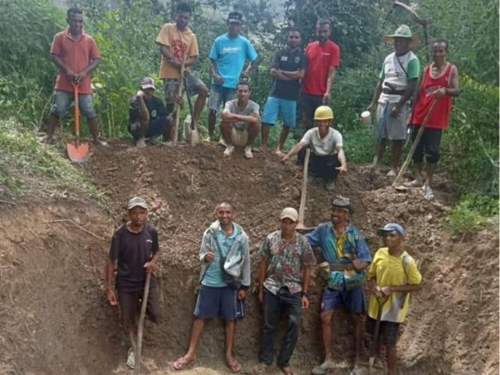
A central part of the meeting took place on the field, at Remexio, where participants observed a community restoration intervention promoted by PERMATIL. The practice is described as “water sowing” and uses small retention basins to slow runoff, promote infiltration into the soil and contribute to the regeneration of springs.
The mechanism is relatively simple but addresses a structural problem. When precipitation flows rapidly over degraded soils or those lacking adequate vegetation cover, the water carries sediment, exacerbates erosion, and quickly reaches low-lying areas, failing to sufficiently recharge the soil and groundwater reserves. Retaining part of the flow, however, allows the water to remain in the landscape for longer.
The technique can help reduce scarcity during the dry season, but its effectiveness depends on the geological characteristics, slope, maintenance, and distribution of interventions within the basin. For this reason, the transition from a local best practice to a demonstration site requires hydrological monitoring, shared indicators and observations over time.
The case of Remexio also shows how scientific advances don't necessarily erase local knowledge. On the contrary, indigenous knowledge can provide insights into seasonality, collection points, the behavior of springs, and landscape transformations. Research can then measure these phenomena, compare different solutions, and determine under which conditions a practice is truly effective and reproducible.
A conceptually close precedent is represented by the amunas of Peru, traditional hydraulic systems of pre-Inca origin used to promote infiltration and maintain soil moisture. The related UNESCO demonstration area highlights how historical water management techniques can be studied with contemporary tools and integrated into basin planning. The comparison does not imply that the two experiences are identical, but it demonstrates the scientific value that can be derived from a structured analysis of territorial practices.
Lack of data limits planning and investment
The project's most significant technological component may not be visible in the landscape. During the workshop, several critical issues were identified: limited availability of hydrological data, fragmented governance, and water information dispersed among different and poorly coordinated stakeholders. These gaps hinder the monitoring of interventions and make it more difficult to make evidence-based decisions.
Without reliable historical data on precipitation, flow, groundwater levels, water quality, soil moisture, and erosion, it becomes difficult to distinguish the effects of a project from normal climate variations. The lack of data also limits infrastructure design, maintenance, risk assessment, and the allocation of public resources.
A demonstration site could therefore perform a dual function: to experiment with environmental interventions and to build a common information baseSensors, weather stations, field surveys, satellite imagery, and geographic systems can support monitoring, provided they are accompanied by clear protocols, local expertise, and defined responsibilities for information management.
Data collection alone doesn't solve the problem. Interoperable formats, validation procedures, operational continuity, and access by the institutions involved are required. In a fragmented administrative system, even a large number of measurements risks being left unused if there's no architecture linking scientific observation, planning, and territorial response.
For universities and research centers, the project can create an environment in which to train technicians, develop teaching activities, and produce studies applied to local conditions. Representatives of national institutions have expressed their intention to strengthen the country's capacity by updating training programs and promoting learning based on research related to water and ecosystems.
The participation of experts from China, Malaysia, the Philippines, Poland, and the Republic of Korea It also introduced experiences gained in different contexts. International exchange is particularly useful when it goes beyond the import of techniques, but also allows for the comparison of measurement criteria, management models, and evaluation procedures, adapting them to the conditions of East Timor.
From local project to a model for small island states
UNESCO recognition has not yet been achieved. The source mentions the possible creation of the first national demonstration site and a shared commitment to strengthening research, information systems, and international collaboration. The next step will therefore require defining the area, the scientific objectives, the responsible stakeholders, and the indicators to measure results.
Prudence is essential because the effectiveness of an ecohydrological project emerges over the medium and long term. The restoration of a spring, the reduction of erosion, or the improvement of water quality must be verified over different seasons and compared with documented initial conditions. Only in this way can the site become a technical reference, and not simply a showcase for environmental interventions.
For public institutions, the experiment could provide more robust criteria for deciding where to invest, which projects to complement natural solutions, and how to coordinate expertise. For communities, the value lies in the opportunity to participate in management and see their knowledge recognized. For research, the interest lies in access to a real-world environment in which to study the relationship between climate, water, biodiversity, and human activities.
The project is also consistent with theSustainable Development Goal 6 of the United Nations, dedicated to the availability and sustainable management of water and sanitation. In the case of East Timor, however, the value of the initiative will depend primarily on its ability to produce usable results in the day-to-day management of resources, rather than simply formally aligning with international objectives.
UNESCO believes that the experience can also offer guidance to others small island states of Asia and the Pacific, exposed to climatic pressures, seasonal water availability, and technical capabilities that are not always sufficient. Transferability will not mean replicating the same basins or the same works, but rather providing observation methods, participatory models, and criteria for integrating science and traditional knowledge.
The most concrete perspective is therefore the construction of a permanent network between communities, researchers and administrationsSmall reservoirs, vegetation restoration, and spring protection can deliver local results; however, to impact national water security, they must be supported by reliable data, training, and institutional accountability. It is on this transition, from local practice to a coordinated system of knowledge and management, that the true significance of the future ecohydrological site of East Timor will be measured.
Here are three insights that might interest you:
Geodesign and Ecosystem Services: An Experiment in the Czech Republic
Biodiversity: The future of freshwater begins in cities
"Flying Rivers" and Forests: The New Amazon Risk Map