SEARCH


In Finnish Lapland, sensors, airships and satellite data are transforming a local weather station into a testing ground for climate and business.
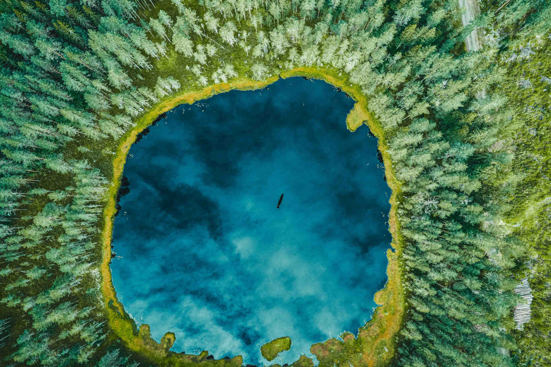
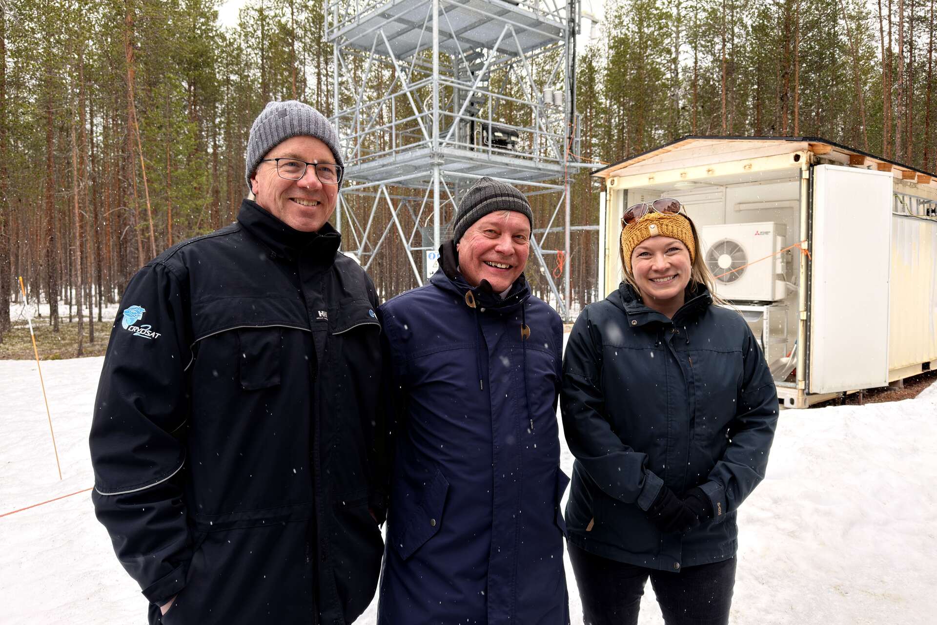
The European Space Agency and Finnish Meteorological Institute are entering the operational phase of the development of the new European supersite for Earth observation at Sodankylä, in Finnish Lapland. From May 2026, the project plans to upgrade the measurement infrastructure, data management systems, and experimental campaigns, with the aim of improving satellite calibration and opening up new opportunities for the European space industry.
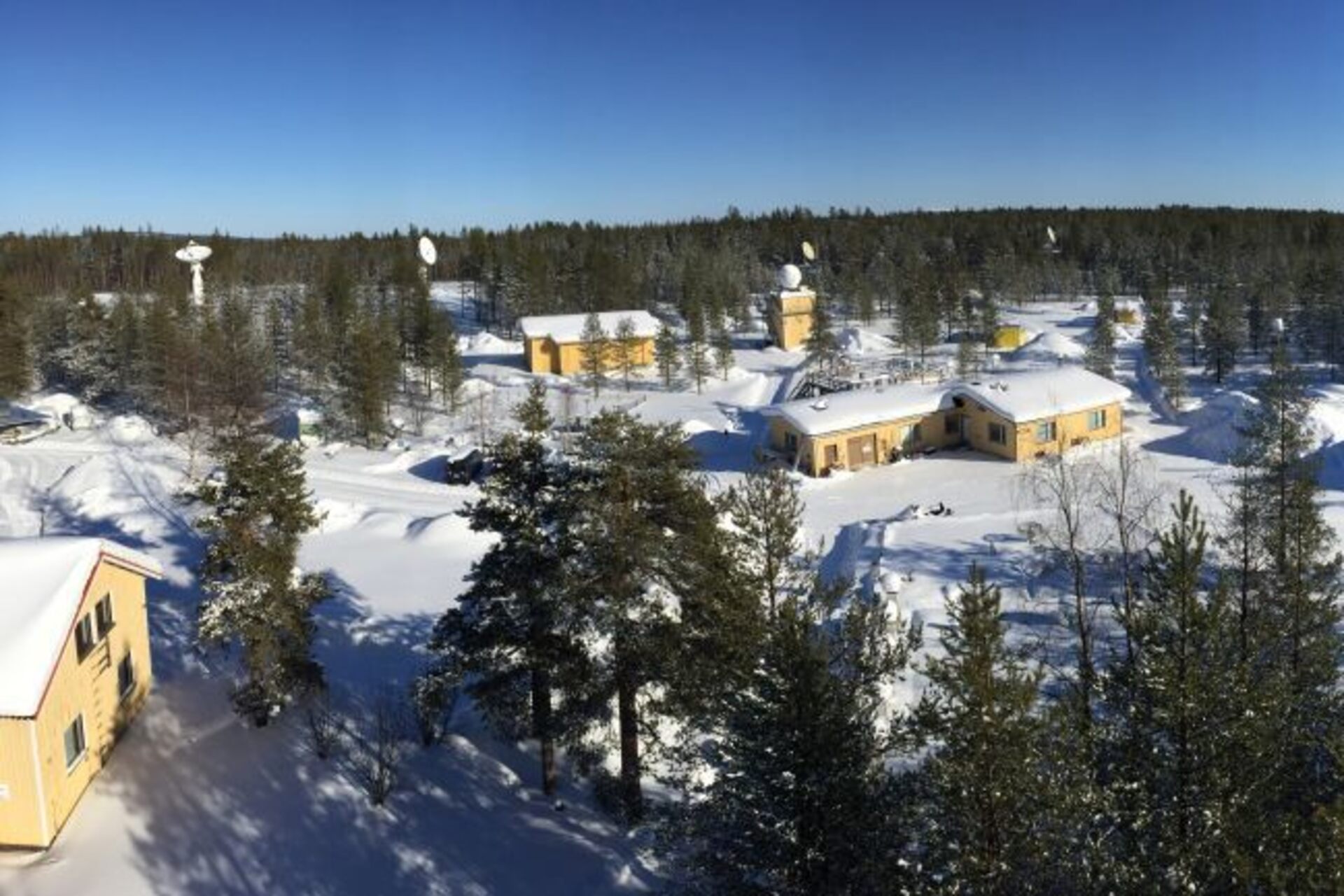
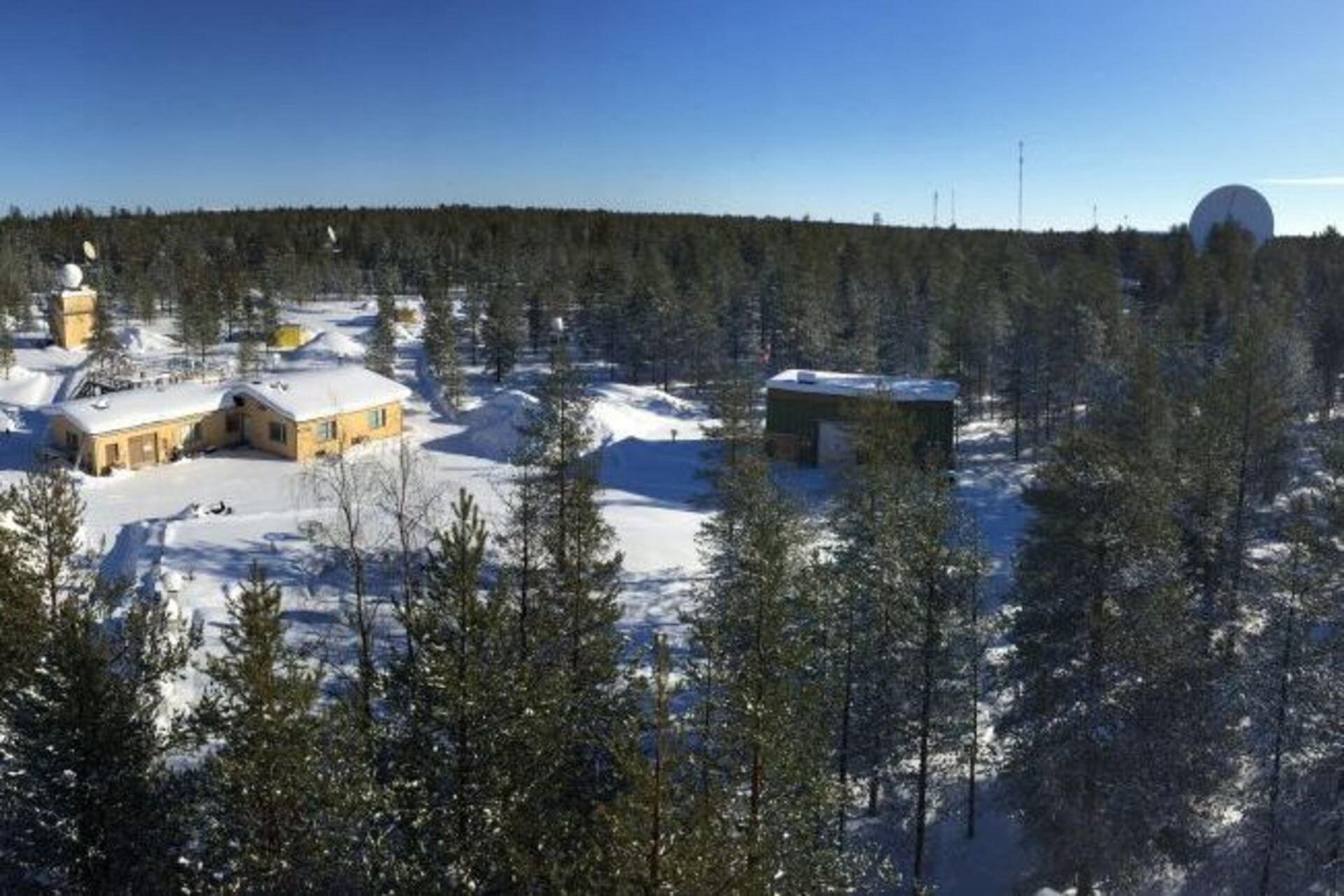
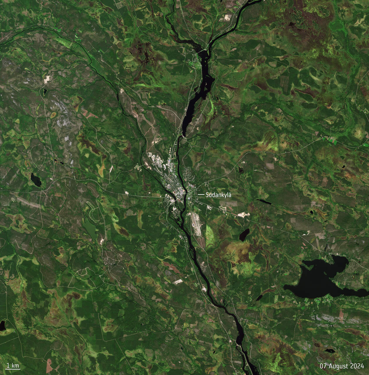
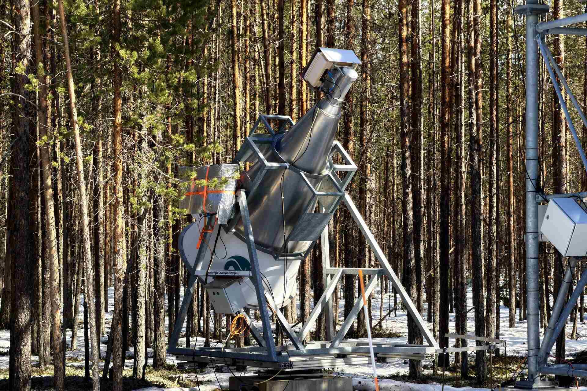
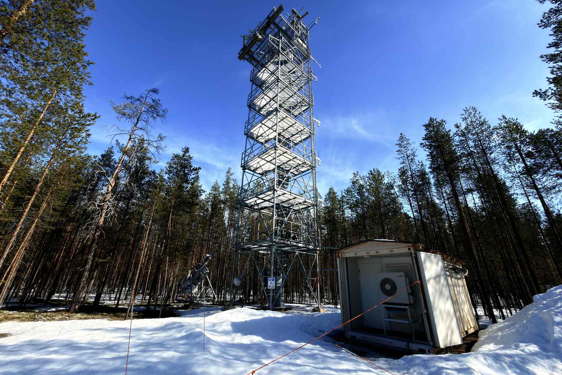
The center is located in Tähtelä, approximately seven kilometers south of Sodankylä, at coordinates 67.367 degrees north and 26.629 degrees east. It's a point beyond Arctic Circle, remote but reachable, where the boreal environment offers challenging and scientifically valuable conditions.
Here ESA, the Finnish Meteorological Institute and Finnish industrial partners are transforming an already established research station into a integrated supersite for Earth observationThe facility will have to compare ground measurements, data collected from towers, aerial campaigns, and satellite observations.
In terms of research and development, the project shifts the center of innovation from the single satellite to the entire data validation chain.
The key word is calibrationA satellite can produce maps of forests, snow, soil moisture, greenhouse gases, or atmospheric composition, but this information only becomes truly usable when compared with independent and reliable measurements.
The Sodankylä supersite will therefore serve to reduce uncertainty, determine error margins, and refine the algorithms used to transform satellite signals into environmental information. The resulting products can be used by researchers, public administrations, and businesses operating in the Arctic and sub-Arctic regions.
Why remote Lapland is a natural laboratory
The choice of location is not accidental. The region is representative of the boreal biome, the largest terrestrial forest belt on the planet, distributed between North America, Scandinavia and Russia.
Long winters, a short growing season, seasonal snow, cold soils, and large, sparsely populated areas make Lapland a natural laboratory for testing what satellites observe from orbit.
In such an environment, even a seemingly small error can alter climate maps, hydrological models, biomass estimates, or assessments of forests' ability to absorb carbon.
The Tähtelä position also offers a useful balance between environmental representativeness and accessibility. It is not an isolated base on an ice sheet, but a site connected to Finnish scientific infrastructure, where it is possible to conduct continuous campaigns, maintain instruments, and host industrial and international activities.
Ground-based sensors and airships in the sky to validate satellites
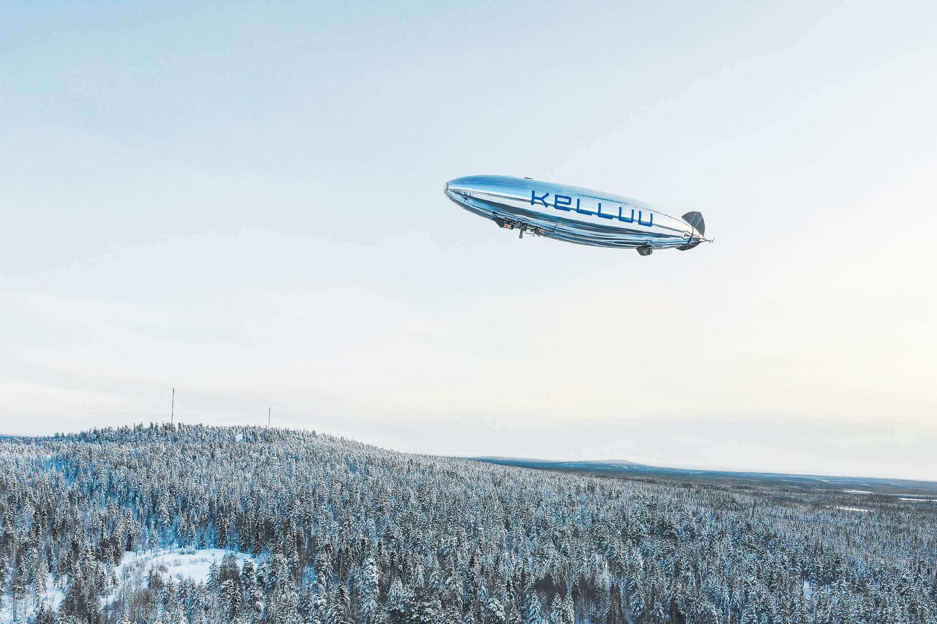
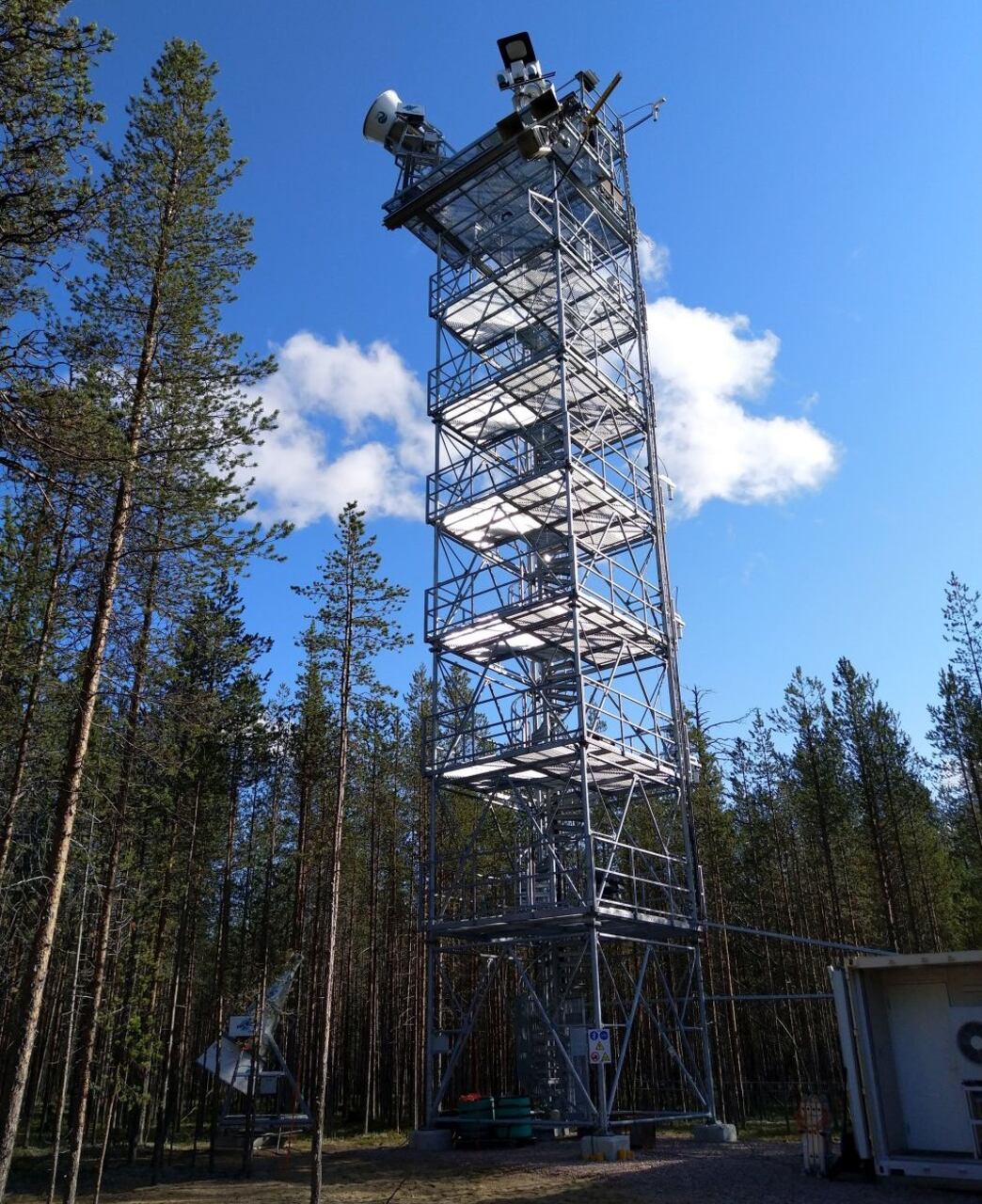
The project announced by ESA includes the installation of new measurement instruments and airborne campaigns supported by the programme FutureEOAmong the most visible elements is a remotely controlled airship, equipped with sensors for regional surveys.
This isn't a theatrical solution. Such a vehicle can fly slowly, remain operational for many hours, and collect data on a scale intermediate between point measurements made on the ground and the area observed by a satellite sensor.
Hannakaisa Lindqvist, responsible for the activity for the Finnish Meteorological Institute, described one of the components of the plan as follows:
“Regional investigations are planned with a new remotely controlled airship system, capable of flying for up to 12 hours.”
The gap between local and orbital data is one of the main challenges of environmental observation. A tower measures what's happening at a specific point with great precision. A satellite observes much larger areas, but must translate electromagnetic signals into geophysical variables such as vegetation height, soil moisture, or snow cover.
Le aerial platforms, drones and airships They allow these two scales to be connected. They can produce three-dimensional maps of vegetation, snow, and landscape structure on surfaces comparable to those analyzed by satellites.
According to the FMI-ARC, flights of the Kelluu airship over the supersite area were conducted using lidar and photogrammetry to obtain digital surface models. Measurements taken under different snow conditions and at different stages of the growing season allow for the study of snow distribution, forest structure, and phenology, i.e., the seasonal pattern of biological processes.
These are relevant data for the science of the climate, but also for applications related to the management of forests, water resources, infrastructure and natural risks.
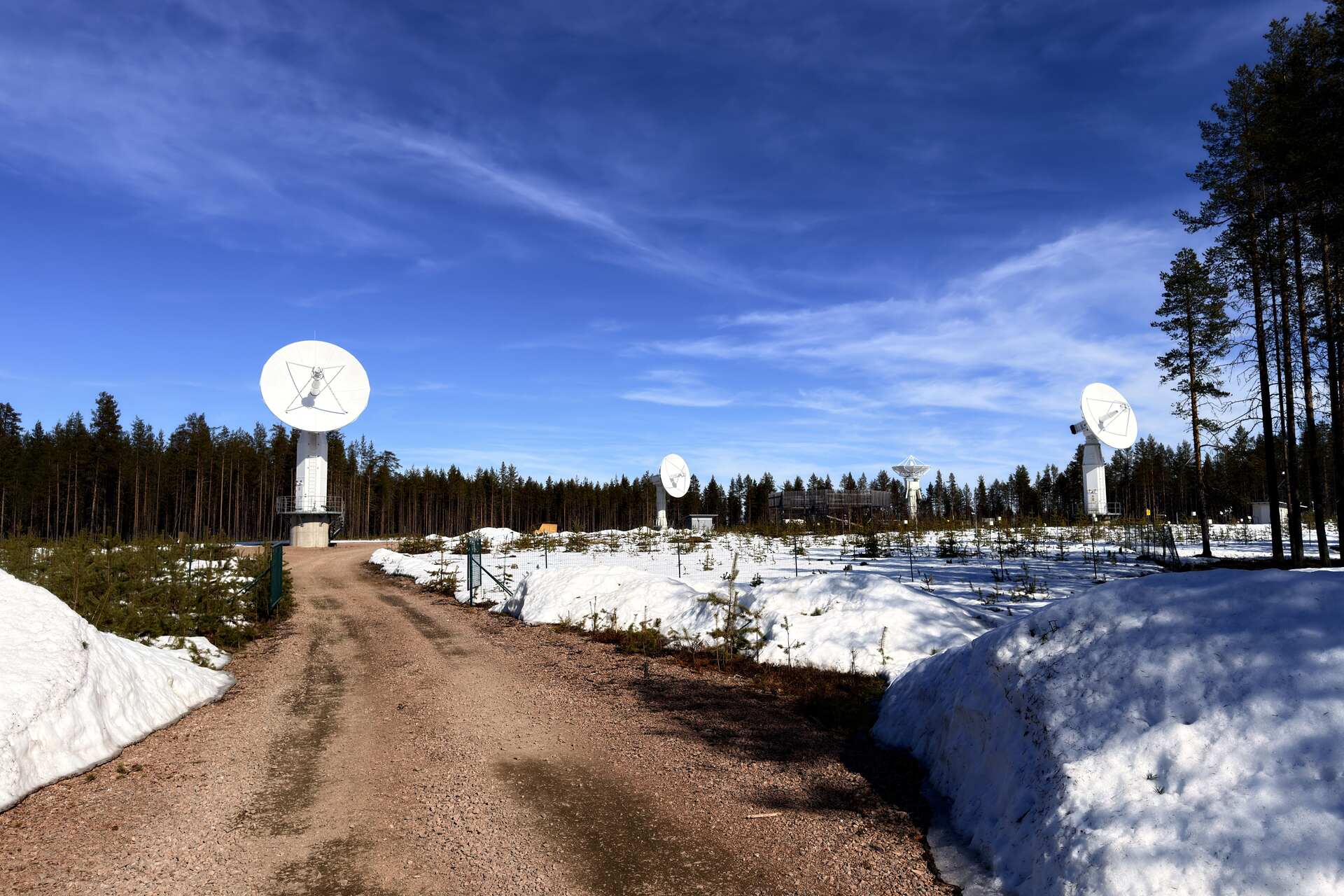
The supersite also includes instruments to measure greenhouse gases, radiation, atmospheric composition, snow, and soil characteristics. Its purpose is not to replace satellites, but to provide reference data with which to verify the observations.
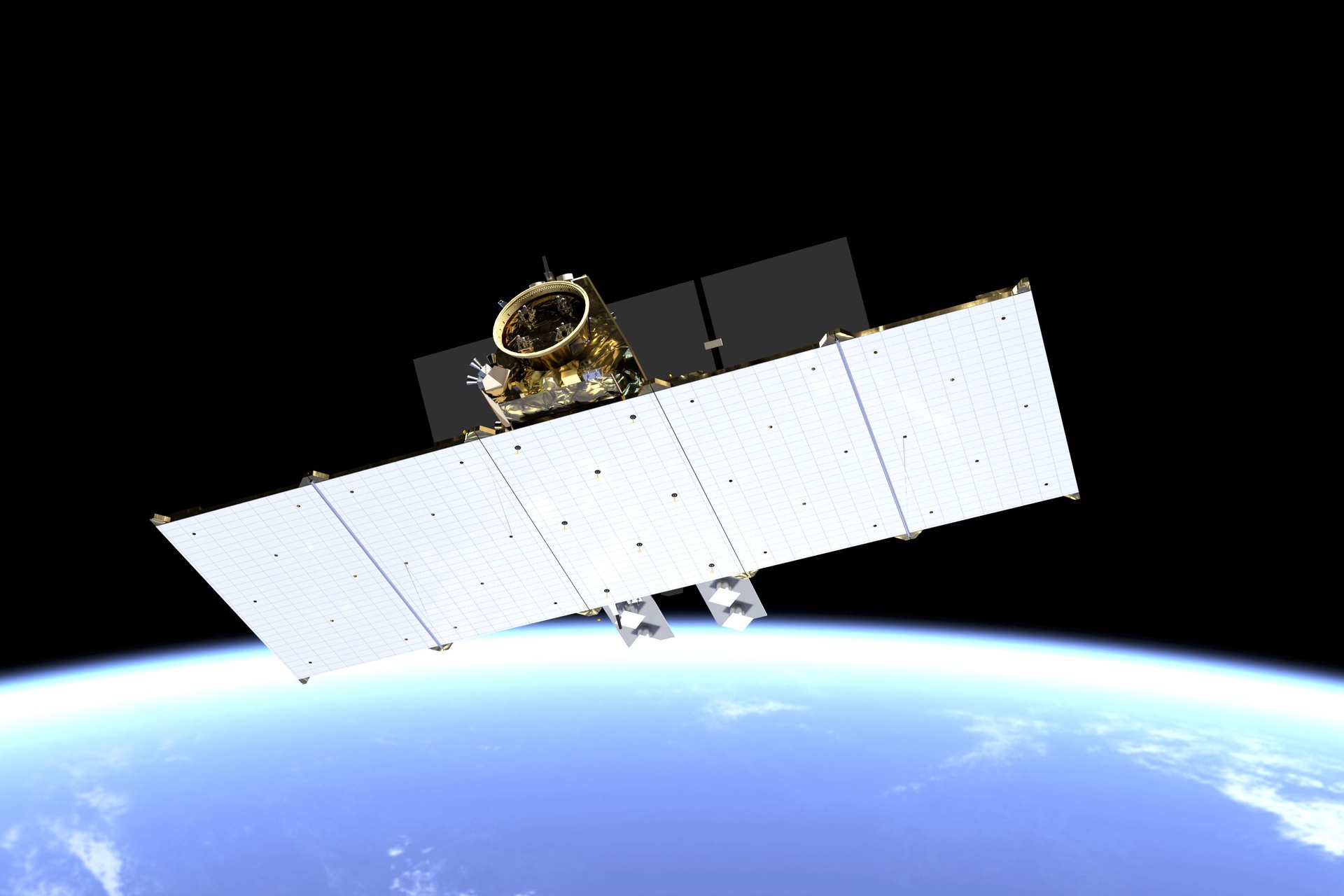
The availability of such a high-level Arctic-Northern facility is particularly important as Europe prepares new Copernicus missions, including those dedicated to anthropogenic CO2 and L-band radar observations.
The Finnish testbed for the space industry
The project is not just about scientific hardware. The supersite is also a test bed for Finnish and European industry.
The FMI-ARC also lists CGI, Harp Technologies, Huld, Kelluu, Kuva Space, and Vaisala as industrial partners. The project brings together expertise in software, sensors, airborne platforms, hyperspectral data, meteorological instruments, and space services.
The public research infrastructure thus becomes a platform on which to test products and services under real-world operating conditions.
For a company, testing a sensor in the Arctic means verifying its robustness, stability, power consumption, measurement quality, and interoperability with reference instruments. For a space agency, it means improving the reliability of data collected in orbit.
Convergence creates a model of business and business development Different from innovation conducted exclusively in the laboratory. The market is brought closer to research through experimental campaigns, shared protocols, and comparable measurements.
ESA stressed that the upgrade of the site could offer new opportunities for Finnish companies interested in developing and testing advanced environmental monitoring technologies.
This shift is significant because the European space economy no longer revolves solely around large-scale institutional missions. A growing share of value is concentrated in downstream services, climate models, computing platforms, and decision-making tools for governments and businesses.
From calibration to working on environmental big data
In this scenario, competitive advantage depends not only on the accuracy of a sensor. It depends on the ability to integrate that sensor into a verifiable system.
A useful environmental data must be traceable, comparable and updatableIt must be able to communicate with historical series, forecasting models, satellite images, and international observation networks.
The connection with Big Data And algorithmic analysis therefore becomes central. The challenge is not simply to collect a greater volume of information, but to transform it into credible, documented products that can be used in decision-making processes.
The entrepreneurial dimension is strengthened by the involvement of Space Economy, a strategic Finnish initiative aimed at connecting companies that are not traditionally part of the aerospace sector with ESA programmes.
Many applications of the new space economy are emerging from companies specializing in materials, telecommunications, automation, data analytics, sensors, or territorial services. The supersite can offer these entities a common environment in which to test their technologies.
Boreal forests and European climate services analysis
Malcolm Davidson, head of the section Earth Observation Campaigns of ESA, summarized the role of the project with a clear formula:
“Earth observation satellites are key to mapping and monitoring the Arctic region.”
The Arctic is vast, sparsely populated, and logistically complex. Collecting information solely from the ground would be insufficient. Relying solely on satellites, without independent reference measurements, would increase the risk of unreliable interpretations.
The supersite connects these two levels and allows for the validation of missions observing forests, snow, ice, soil moisture, atmospheric gases, and ecosystem processes.
The Finnish Meteorological Institute describes Sodankylä as
“an integrated system for monitoring the interactions between the Earth’s surface, the biosphere, and the atmosphere.”
Field observations are complemented by reference instruments for satellite sensors operational or planned by ESA, NASA, EUMETSAT and other international organizations.
The facility already has a well-established history. According to the IMF, the number of individual instruments or datasets has increased from 160 in 2010 to over 450 in 2019. Other IMF sources indicated more than 500 resources in 2022.
The numbers may vary based on updates and classification criteria, but they describe a clear trajectory: Sodankylä is not an isolated station, but rather an expanding scientific platform.
From a climate perspective, the value of the infrastructure is mainly linked to the quality of time series and the ability to observe processes that unfold over years or decades.
Boreal forests store carbon, alter the Earth's albedo, and influence energy and moisture exchanges with the atmosphere. They are also sensitive to snow cover duration, water availability, and rising temperatures.
Monitoring them more precisely allows us to improve models that link climate, vegetation, the atmosphere and the carbon cycle.
On the application level, the supersite data can contribute to the development of services for forest management, hydrological forecasting, infrastructure safety, emissions monitoring, and land-use planning.
The transition from research to market isn't automatic. It requires standards, economic sustainability, defined responsibilities, and measurable quality levels. This is precisely why a calibration and validation site can become aenabling infrastructure on which different entities build more reliable applications.
The new critical infrastructure of environmental data
The case of Sodankylä reflects a broader transformation of Earth observation.
Climate innovation no longer simply involves launching a new satellite or increasing image resolution. It relies on distributed infrastructures in which local measurements, airborne platforms, orbital instruments, digital archives, and computational models are all part of the same process.
Value comes from chain of trust which connects the observed physical phenomenon to the final decision.
Simonetta Cheli, director of ESA's Earth observation programmes, had already indicated the direction of the initiative in 2025:
“We will work with the Finnish Meteorological Institute to transform their Arctic Space Centre into an Earth science supersite.”
The statement described the planning phase. The launch, in May 2026, of the development of the measurement infrastructure, data systems, campaigns, and information products now signals the transition to a more operational phase.
A supersite, in fact, is not measured solely by the number of instruments installed. It must produce usable, documented information that is accessible to scientific communities, institutions, and businesses.
For Europe, the stakes are also industrial. sovereignty over environmental data It does not depend exclusively on the ownership of the satellites, but also on the ability to control and verify the quality of what is measured.
Insurance companies, energy companies, forestry operators, agriculture, infrastructure managers, and public administrations require increasingly precise climate information. In this context, the data quality takes on the characteristics of a critical infrastructure.
Sodankylä is therefore located at the crossroads between research and development, space industry e climate services.
The supersite alone cannot resolve the Arctic's complexity, but it offers a method: better measurement, comparison of different sources, and making the path from scientific observation to decision more transparent.
It's a trajectory that goes beyond the borders of Lapland. The future of Earth observation will increasingly depend on the ability to integrate Big Data, sensors and scientific responsibility in verifiable systems.
Arctic Space Centre in Sodankylä: Satellite data for understanding Earth
Sodankylä 5G: Connected mobility and functionality testing in Arctic conditions
Here are three insights that might interest you:
Amazon Challenges Starlink: The New Race for Satellites in Orbit
New European hub for aerospace innovation in Andøya
Amazon in orbit to boost our internet access